


By Peter Nyanje
Nairobi. For farmers facing increasingly uncertain growing conditions, knowing what is beneath their feet can be as important as knowing what is coming from the sky.
Soil research can reveal why the same crop performs differently across locations, help farmers better understand the characteristics of their land and provide evidence needed to make more informed farming decisions. Yet collecting sufficiently detailed soil information across millions of farms remains a major challenge.
That is one of the problems researchers at the Kenya Agricultural and Livestock Research Organisation (KALRO) are trying to address by transforming soil information into digital maps that farmers and other users will eventually be able to access online.
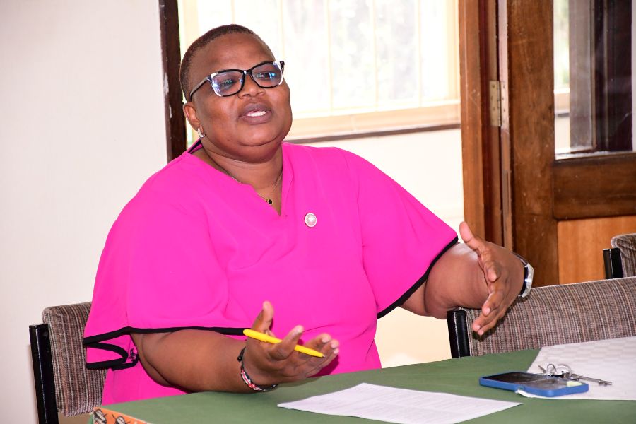
Dr. Caroline Kudu, Centre Director for Food Crops Research at KALRO’s Kabete centre (pictured above), said previous soil-mapping work in Kenya collected about 77,000 samples across the country, providing an important foundation for understanding the country’s soils.
But even that number, she said, cannot fully represent the conditions experienced by Kenya’s roughly seven million farmers.
“The project collected around 77,000 samples. But you see, that’s not the representation of the whole country, the seven million farmers of the country, because they focused on the food-growing areas only,” Kudu said.
The limitation matters because agriculture extends beyond food-crop farms. Livestock farmers also need soil information to determine conditions for growing forage, while forestry and other land uses require their own understanding of soil characteristics.
Other initiatives are therefore beginning to fill some of those gaps, including work covering forage-producing areas and forests, she said.
From ageing paper maps to digital tools
For years, researchers relied on physical soil maps. Many of those maps have deteriorated with age, making them increasingly difficult to use.
KALRO is now working to digitise that information and make it more accessible.
“Way back we used to have those paper maps that have long deteriorated. Instead of being white, now they’re turning brown, and they cannot make a lot of sense,” Dr. Kudu said.
The ambition goes beyond simply scanning old maps.
Researchers want to develop an interactive service through which a farmer could search for their village and obtain information about the soils found in that particular area.
KALRO also envisages layering soil information with other agricultural and environmental data, including rainfall and temperature.
The result could eventually give farmers a more detailed picture of the conditions under which they are producing food, rather than relying on broad recommendations that may not reflect variations between locations.
“When you click your very village, then you should be able to see the soil types in your area,” Dr. Kudu said.
The maps are expected to be made freely available online, potentially opening access not only to farmers but also to researchers and other users interested in agricultural land.
The digital divide remains
There is, however, an important limitation.
Soils Scientist at KALRO, Kenedy Were, told the visiting editors that an interactive digital soil platform is easiest to use for farmers with smartphones, connectivity and sufficient digital literacy. Those without those tools could struggle to benefit directly.
Kudu acknowledged that challenge.
“The bias is that this will now benefit landed farmers, those who are able to interact on a smartphone,” he said.
Finding ways to ensure that farmers without smartphones or the skills to use digital platforms can still access the information will therefore be important if the initiative is to have broad impact.
The challenge illustrates a wider question surrounding Africa’s rapid adoption of digital agriculture: technological solutions can generate valuable information, but their success ultimately depends on whether that information reaches farmers in a form they can actually use.
Beyond food crops
Kenya’s soil-mapping effort could also support wider environmental initiatives.
Dr. Kudu said researchers are considering soil and land information in relation to forestry, including the government’s tree-growing ambitions. Understanding local conditions could help inform decisions about what trees are appropriate for different areas.
For farmers, however, the immediate promise is much more practical: replacing general assumptions about soil with location-specific information.
As African agriculture confronts changing rainfall patterns and growing pressure to produce more food from existing farmland, soil research provides one piece of the evidence needed to make farming more responsive to local conditions.
KALRO’s approach is therefore not simply about collecting more soil. It is about turning the information already available into something farmers can see, understand and eventually use. And if the digital divide can be overcome, an ageing soil map that once sat on a researcher’s shelf could become a practical tool in a farmer’s hand.
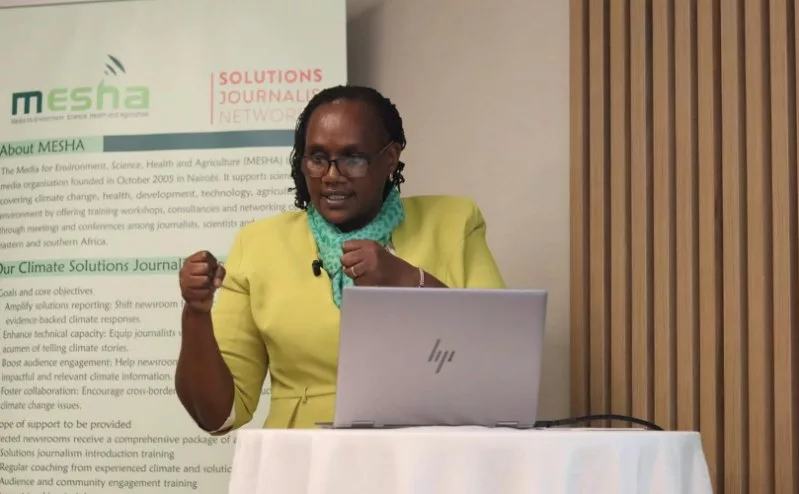
The visit was part of two days training for the editors from selected newsrooms. The training was organised by Media for environment, Science, Health and Agriculture (MESHA) in collaboration with Solution Journalism Network (SJN).