


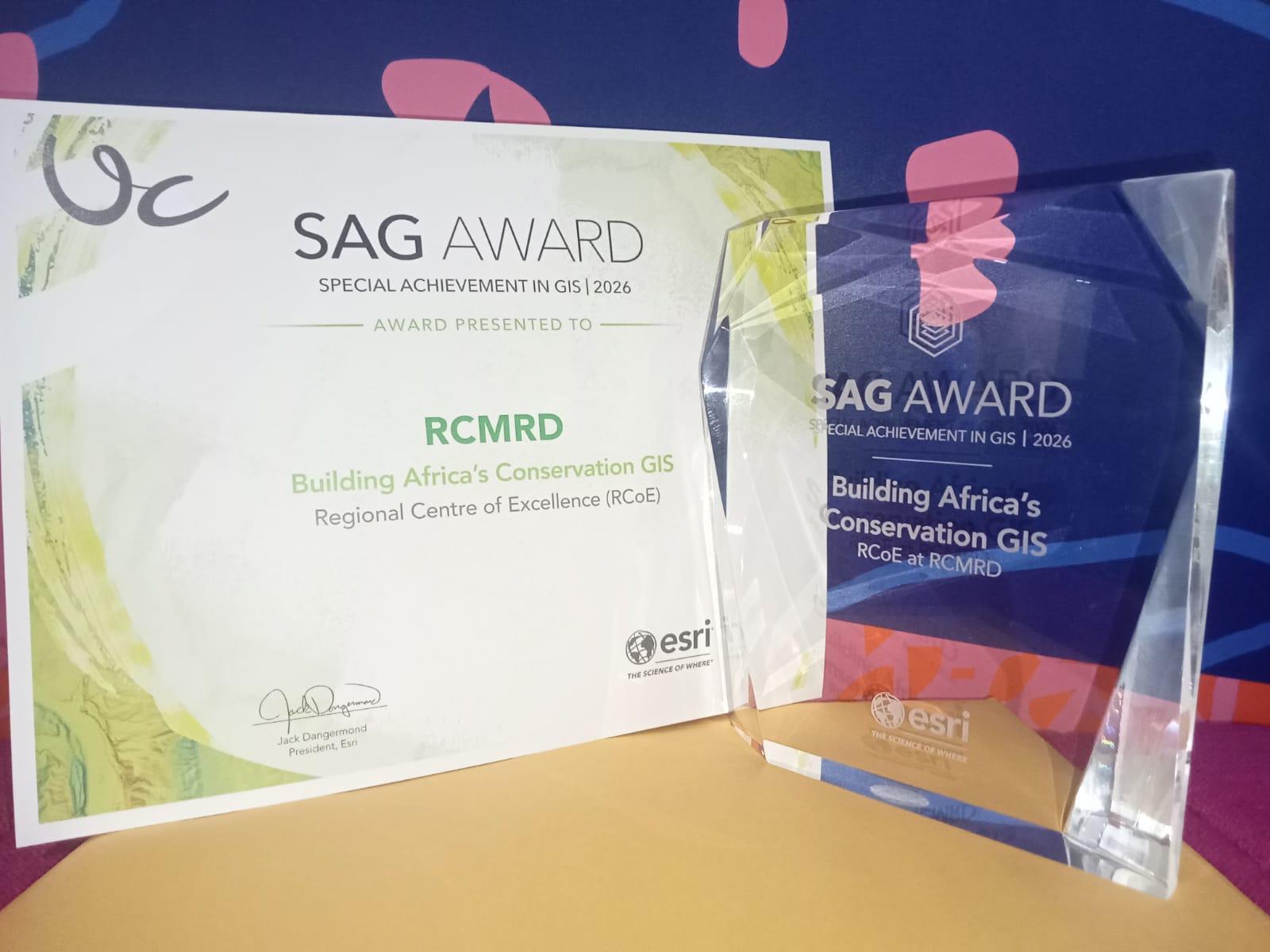
Nairobi. The Regional Centre for Mapping of Resources for Development (RCMRD) has won one of the world’s most prestigious geospatial technology awards, earning global recognition for using Geographic Information Systems (GIS) to strengthen biodiversity conservation and environmental management across Eastern and Southern Africa.
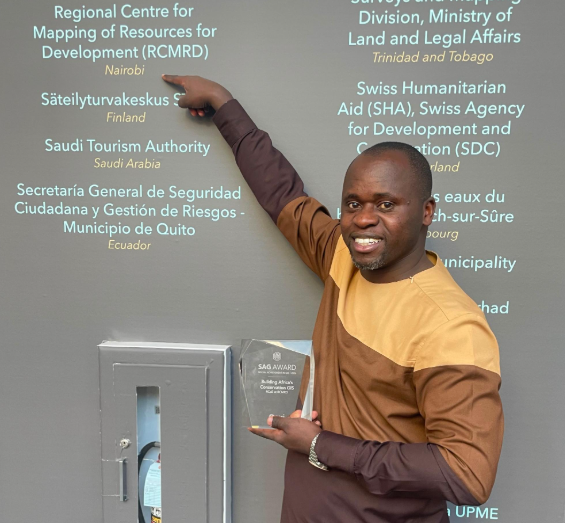
The Nairobi-based institution received the Special Achievement in GIS (SAG) Award from Esri Inc., the global leader in GIS technology, during the 2026 Esri User Conference held in San Diego, California, on July 16.
The recognition places RCMRD among a select group of organisations acknowledged for applying geospatial innovation to address some of the world’s most pressing environmental challenges.
The award recognises the impact of RCMRD’s EU-funded Regional Centre of Excellence (RCoE), which is helping African countries harness geospatial data to improve biodiversity conservation, strengthen environmental planning and support sustainable development.
Established in 1998, the SAG Award honours organisations that demonstrate outstanding use of GIS technology to analyse data, identify patterns and develop practical solutions to complex challenges across different sectors.
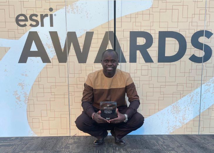
Presenting the award, Esri president Jack Dangermond said mapping technology has become indispensable in tackling global challenges because nearly every major issue has a geographical dimension.
“Each year, users demonstrate how crucial mapping technology is for our connected world, where almost every critical problem we face has a geographic component,” he said.
He noted that the award recognises organisations that are not only improving their own decision-making through GIS but are also advancing innovation for the wider geospatial community.
For Eastern and Southern Africa, where biodiversity faces mounting pressure from climate change, land degradation and rapid population growth, access to reliable environmental information remains a significant challenge.
Although vast amounts of satellite imagery and environmental data exist, much of it is fragmented, difficult to access and rarely converted into information that can guide conservation decisions. This has made it difficult for many countries to effectively monitor ecosystems, manage protected areas and measure progress towards international biodiversity commitments.
RCMRD says its Regional Centre of Excellence was established to bridge that gap by providing governments and conservation agencies with reliable geospatial information, analytical tools and technical expertise.
The centre supports 24 countries across Eastern and Southern Africa through a regional geoportal that hosts biodiversity data, interactive mapping platforms, standardised field data collection tools, automated country profiles and policy briefs.
These tools enable governments and conservation practitioners to monitor ecosystems more efficiently, improve protected area management and make evidence-based decisions that support conservation and sustainable development.
The initiative also plays an important role in helping African countries track progress towards the Kunming-Montreal Global Biodiversity Framework, particularly Target 3, which seeks to conserve at least 30 percent of the world’s land and marine areas by 2030.
According to RCMRD Director General Dr Emmanuel Nkurunziza, the recognition reflects nearly five decades of investment in building Africa’s capacity to manage its natural resources using modern geospatial technologies.
“Our work has enhanced environmental monitoring, spatial planning and evidence-based policy formulation for governments, conservation agencies and local communities across Eastern and Southern Africa,” he said.
“For nearly five decades, RCMRD has worked to strengthen Africa’s capacity to manage its own natural resources. This award affirms that geospatial innovation, built in partnership with our member states and the European Union, is delivering real impact where it matters most—on the ground, ahead of the 2030 deadline the world has set for itself,” he added.
The Regional Centre of Excellence operates with support from the European Union through the Africa Regional Centres of Excellence (ArcX) Programme, a continental initiative that contributes to the AU-EU Innovation Agenda and aligns with the European Union’s Global Gateway Strategy.
The ArcX programme promotes research and innovation in five interconnected areas—water, biodiversity, agroecology, oceans and climate change—with the goal of improving ecosystem health, strengthening livelihoods and enhancing environmental sustainability across Africa.
The award also underscores the growing importance of geospatial technologies in addressing conservation challenges as governments increasingly rely on accurate spatial data to inform land-use planning, monitor biodiversity loss and respond to the impacts of climate change.
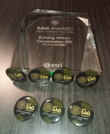
This year’s Esri awards recognised 187 organisations drawn from sectors including government, defence, transport, telecommunications, non-profit organisations and commercial industries. Winners were selected from hundreds of thousands of organisations worldwide based on their innovative application of GIS technology.
For RCMRD, the global honour signals international recognition of Africa’s expanding role in developing home-grown geospatial solutions that support environmental conservation and sustainable development across the continent.